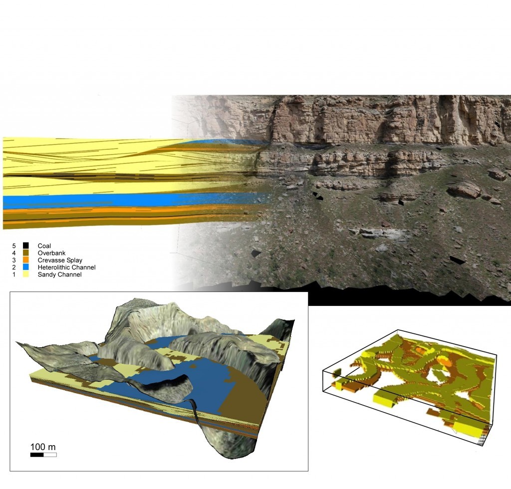
Lasers, unmanned flying drones and missile guidance systems.
No, it’s not the latest Hollywood spy thriller but the cutting edge in geological research technology and it is currently being employed in North Sea oil exploration. Recent advances and their impact on the science of geology will be the subject of a talk at Aberdeen University tonight.
Geoscientist Professor John Howell intends to demonstrate the development of field work, from the very first maps in 1799 to the remotely operated unmanned aerial vehicles (UAVs) which are now used to scan rock formations in remote areas. He said practices had changed markedly during his career. “Some 10 years ago I was spending a lot of my life hanging off cliffs on ropes trying to measure surfaces,” he explained.
“Now, using drones, we can create a 3D model similar to Google Earth but a much higher resolution.
“It’s much more accurate, much safer and much faster.”
Professor Howell said his talk, part of this year’s festival of Science, Technology, Engineering and Mathematics (STEM) and TechFest, would be aimed at the general public, even those with little or no knowledge of geology.
“I think it’s really important for people to understand these processes, especially in light of all the talk of the life of oil reserves during the build-up to the independence referendum,” he said.
“How are these figures arrived at and how is it there can be such a variation in what experts believed to be the lifespan of the oil reserves?
Hopefully people will see an exciting presentation on what a geologist does and how our work has evolved throughout the years.”
The event takes place in the university’s Fraser Noble building and starts 7.30pm.