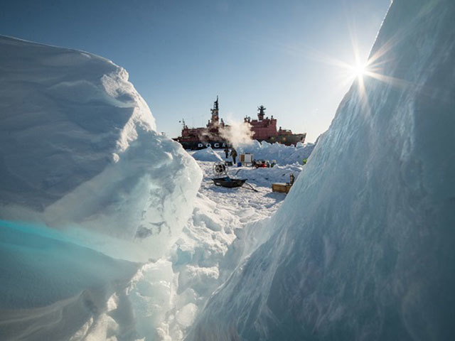
Rosneft has completed a seismic first as part of its geological exploration programme.
The Russian explorer’s 2D survey covered 20,434 line km in waters for the Kara Sea, the Chukchi Sea, and the Laptev Sea.
A company spokesperson said: “For the first time 2D seismic exploration was carried out with support of an integrated information system, a joint development of the company and the Arctic Research Center, enabling a real-time monitoring of ice conditions and keeping track of the location of the ice edge as well as the dynamic features of drift-ice fields and ice bodies.”
The approach allowed the firm to increase the operations time window and to move the surveys further north to the areas of active drift-ice fields.
The 2D seismic was completed in tandem with a 3D approach, covering 2,710 sq km in waters of the Pechora Sea and the Sea of Okhotsk.
Rosneft is the the Russian Federation’s largest suboil user with 51 licenses for exploration and production of hydrocarbons offshore.
Recommended for you
