Technical advisor to the oil and gas industry DNV GL has launched an interactive risk map for offshore firms looking to start operations in the Arctic.
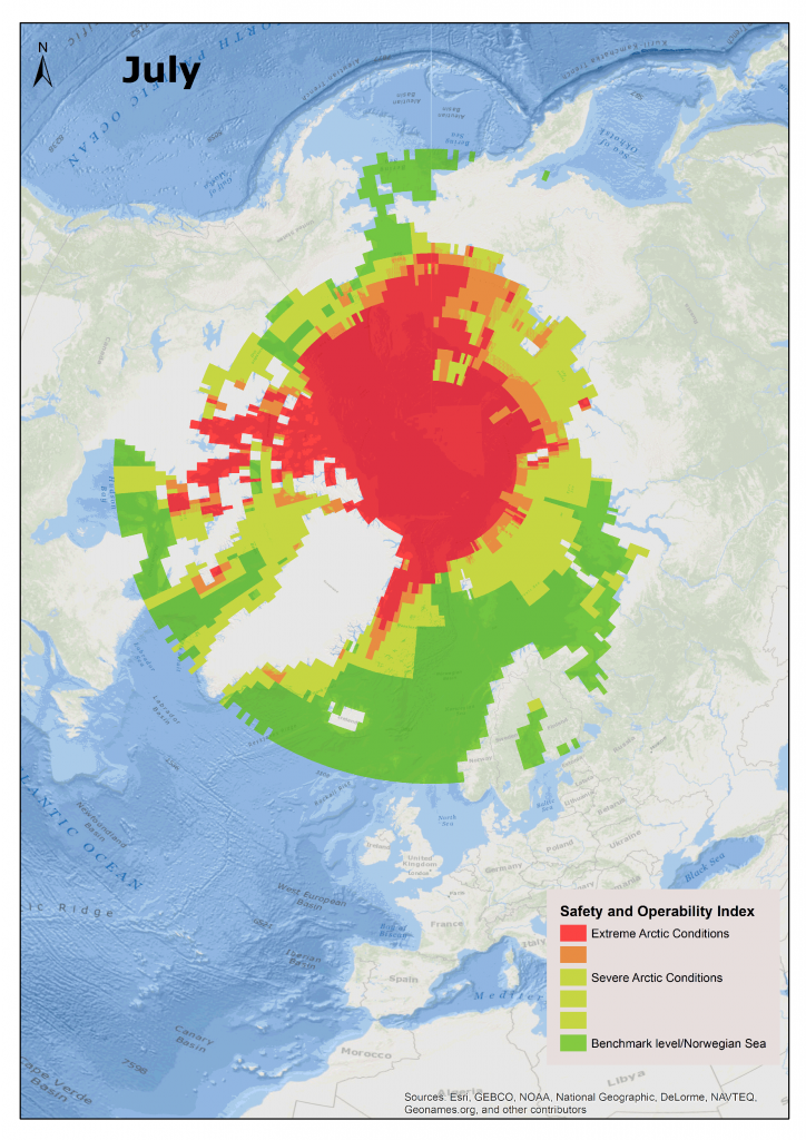
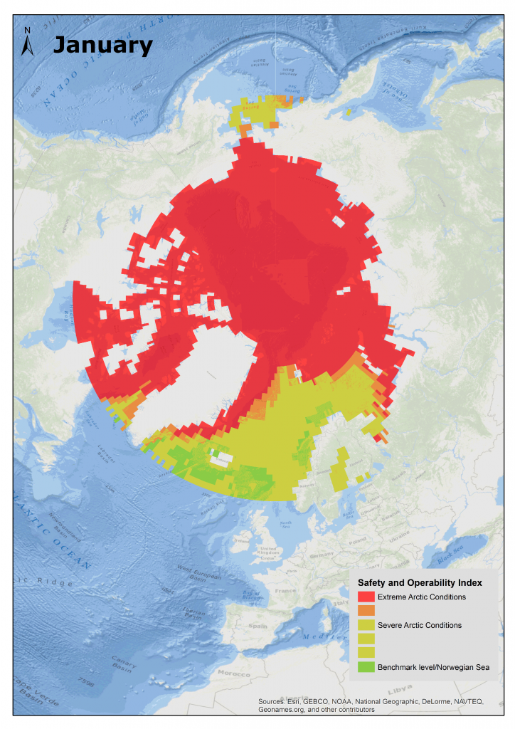
The web-based tool presents multiple dimensions, including the distribution of ice, metocean conditions, sea-ice concentrations, biological assets, shipping traffic and oil and gas resources to help operators identify regions that require special attention when planning future activities.
It also includes a safety and operability Index, which shows different levels of operational risk and environmental vulnerability of marine resources in case of an oil spill, based on the season and location considered for future exploration.
“The Arctic is not a monolithic area and the risk picture varies accordingly,” said Børre Paaske, project manager at DNV GL Oil & Gas.
“Stakeholders therefore need a sound decision basis for understanding the risks associated with Arctic development and transportation.
“The DNV GL Arctic Risk Map can help facilitate transparent discussions to address the many dilemmas related to activity in the region.”
The map is available on a dedicated DNV GL website.
Recommended for you


