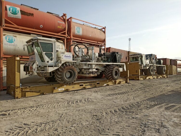
Invictus Energy has completed its 2D seismic survey on Zimbabwe’s Cabora Bassa, exceeding its licence commitments.
The survey provided 839.5 km of high-resolution seismic. This includes 402.2 km in the SG 4571 licence and 437.1 km in an existing application area. Polaris Natural Resources carried out the shoot for Invictus.
The licence required Invictus to acquire 300 km of 2D seismic data in its current period. This runs to June 2024.
It retrieved the last geophone on November 2. It is demobilising equipment and personnel. The company expects to complete this work in the next week.
The company said it had carried out 142,000 hours of work without a lost time injury. This work, it said, was a testament to the effort of the Polaris and Invictus teams.
“The completion of the CB21 Seismic Survey is a significant milestone for the company in our exploration program in the Cabora Bassa Basin. The quality of the high-resolution seismic data we have acquired is excellent and providing great insights into the petroleum potential of the basin,” said Invictus managing director Scott Macmillan.
“The seismic data processing and interpretation is ongoing once completed will enable us to identify and mature additional prospects and leads. The better imaging over the giant Muzarabani structure is very encouraging and once the interpretation of the full dataset is completed, we expect to refine the location for the basin opening Muzarabani-1 well which is scheduled to be drilled in 1H 2022.”
Invictus has said the Muzarabani prospect may hold 8.2 trillion cubic feet of gas. It may also have 249 million barrels of condensate.
Invictus has described the prospect as the “largest, undrilled seismically defined structure onshore Africa”.
The Australian minnow has based its thesis on data acquired by Mobil in the 1990s.
